
The Highway to Hell
Travel and Leisure
1083 views
0 likes
You will need to sign in before you can comment or like.
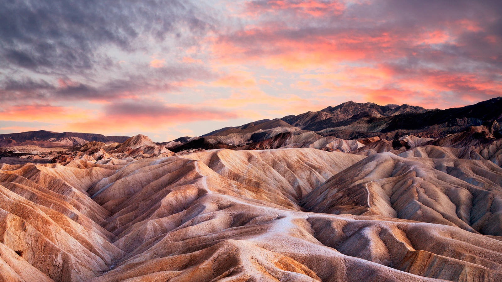
The Death Valley or the ‘Path to Hell’ refers to a rift valley, which is a part of the Great Basin Desert.
- It is the hottest and the driest place in the western hemisphere.
- It is 282 feet below the sea level, which is the second lowest point in the western hemisphere.
-The Death Valley was formed some 30 million years ago, when the bedrock valley between the Amargosa and Panamint Mountain ranges started to sink and tilt-block faulted mountains began to rise.
- Here, one can witness the forces of erosion and the 3000 meter thick sediment (the Great Alluvial Fans).
- One can see sand dunes of varying heights, ranging from 130 to 140 feet.
- Quartz and feldspar are found in these dunes.
- The leeward slopes are overgrown with mesquite trees and creosote bushes.
- One can come across the incredible Death Valley saltpan which covers about 200 square miles and is one of the largest of its kinds.
- During the Pleistocene Ice Age, a 600-foot-deep lake was formed within this valley, which is known today as Lake Manly. This lake has dried up that resulted in the deposition of large amount of salt, with thickness of 2-3 feet, which rest on top of an ancient lakebed of 25-50 feet depth.
- However, even in the extremely harsh environment, the Death Valley is home to about 1000 species of plants, 56 species of mammals, 36 species of reptiles, 400 species of birds, 5 species of amphibians and 5 species of fish.
- The Death Valley pup-fish can survive in the briny water at temperature of 44°C and during winter it burrows into the muddy bottom and become dormant.
- The Zebra-tailed lizards are found here in large numbers.
Comments